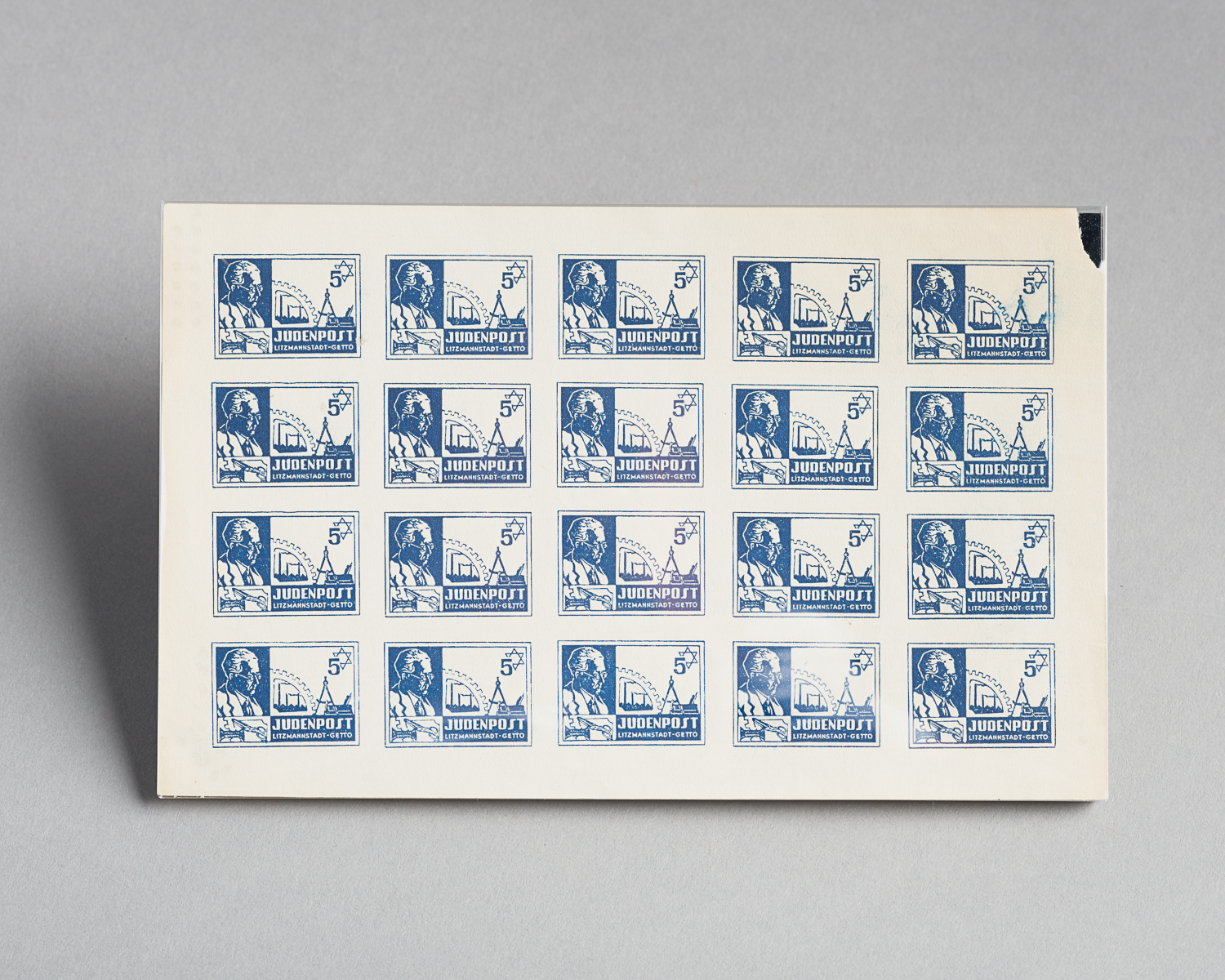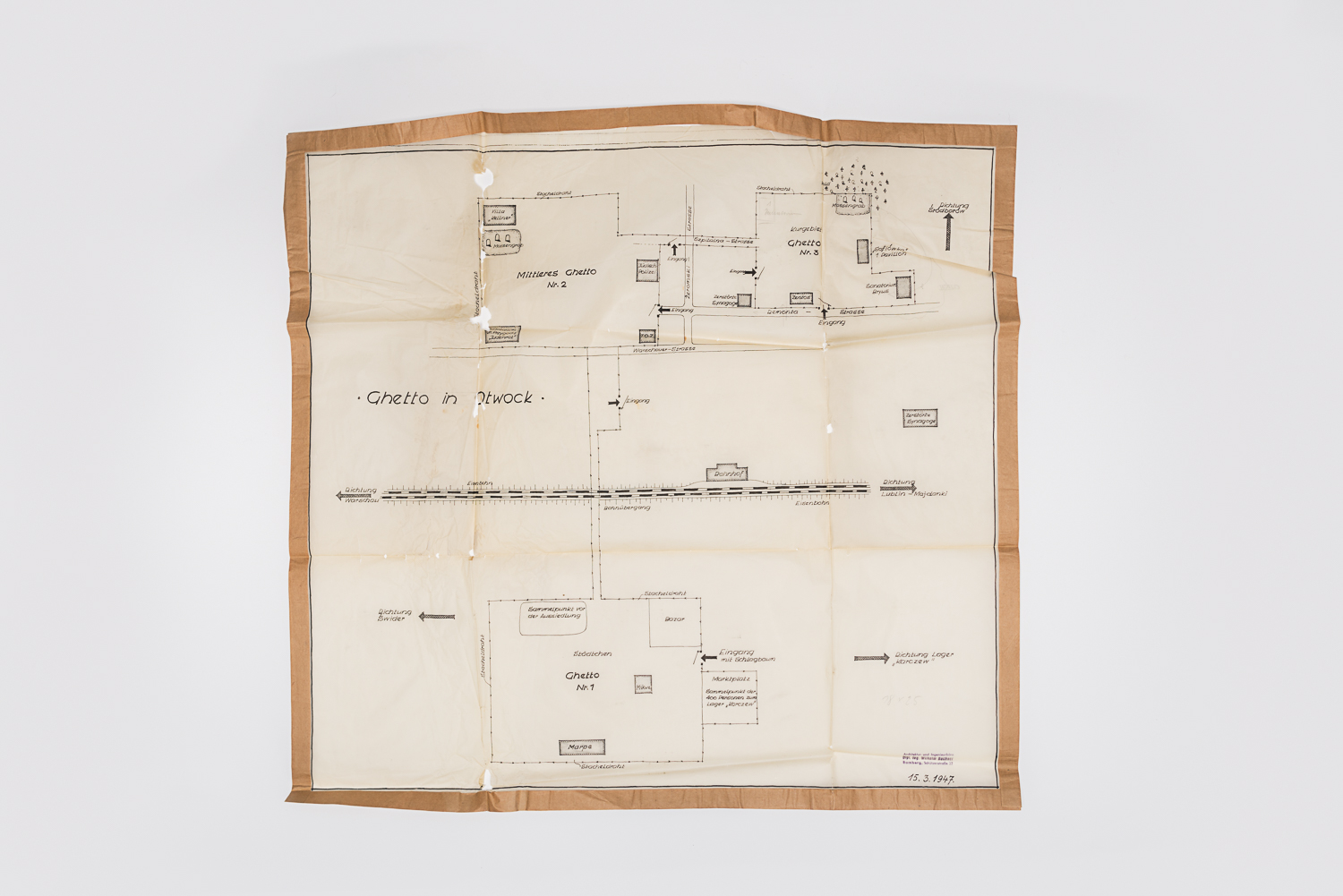
This is a map of the Otwock city ghetto located 20 kilometers south of Warsaw, Poland. A map of the nearby Karczew forced labour camp is also attached to the document. These maps were created in 1947 by the Jewish Historic Council of Bamberg, Germany, to document the Holocaust.

The Otwock Ghetto and Zofiowka Sanatorium
When the Nazi troops arrived in Otwock, they created the ghetto to segregate Jews from the rest of the city. The Zofiowka sanatorium, a mental health facility with hundreds of patients, was also integrated as part of the ghetto. When the ghetto was liquidated in 1942, patients and employees were rounded up in the sanatorium hall and killed on-site. The remaining residents were deported to the Treblinka killing centre.
Benjamin Orenstein donated this map and documents to the Montreal Holocaust Museum in 1986.
This project is part of the implementation of the Plan culturel numérique du Québec.![]()